ICT Applications - Part 5
This is the fifth and concluding part on ICT Applications. In this part we will cover computer applications in libraries, retail stores, recognition systems, monitoring and tracking and satellites.
How can computers be used in libraries?
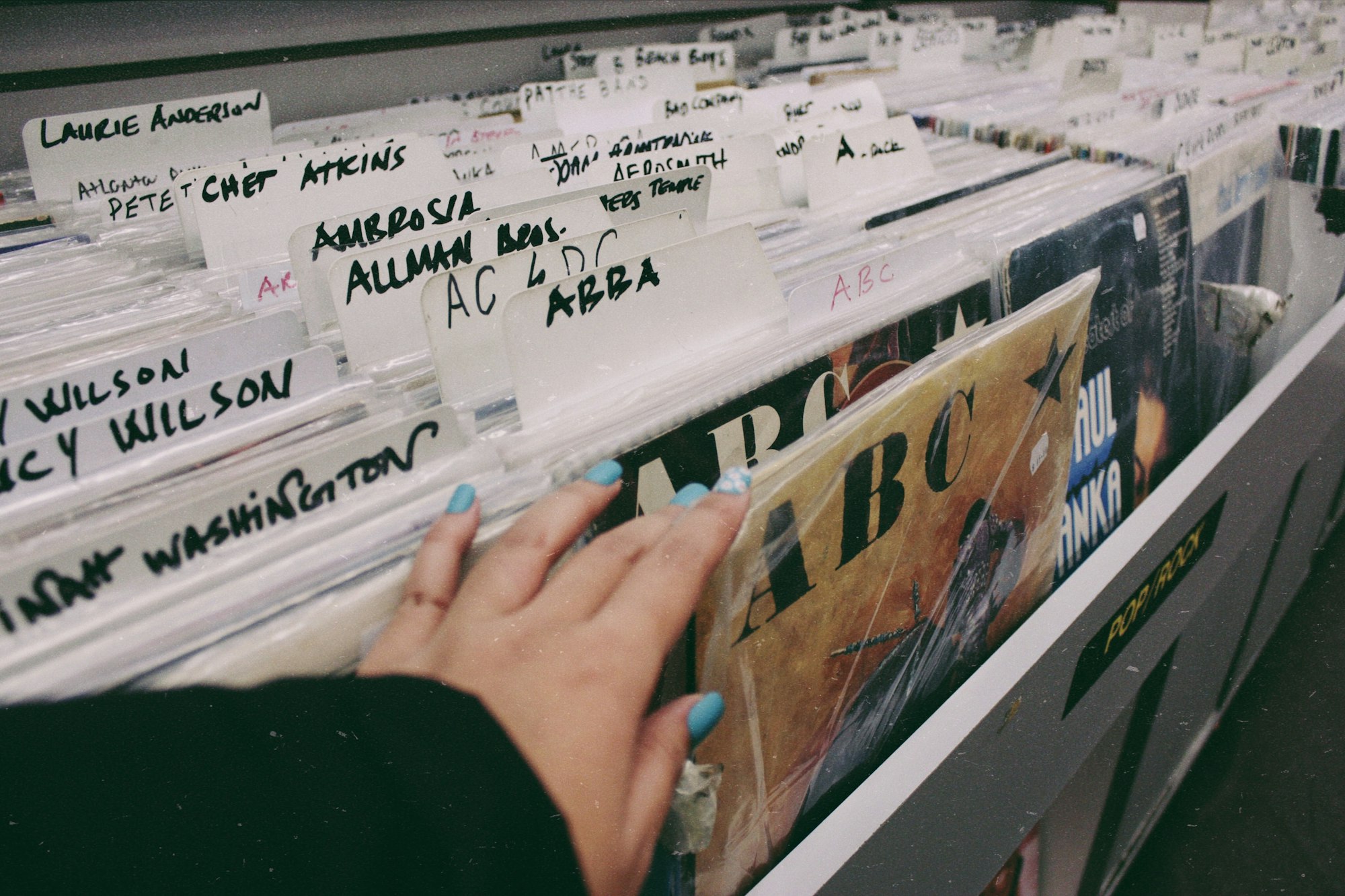
Many modern libraries have computer-controlled systems to track books. Books as well as the borrower's library card are barcoded.
A typical computerised library system based on barcodes would look as explained below.
- There are two files:
Book file - This contains details of all the book titles in the library, record wise and is made up of the following fields:
* Barcode
* Book title
* Name of author
* Date published
* Unique book identifier
* Borrower's ID
Borrower's file - This contains records of all the borrower's and the books borrowed by them and is made up of the following fields:
* Borrower's ID
* Borrower's name
* Borrower's details
* Barcode of book borrowed
* Unique book identifier
* Date due return
-
When a book is borrowed by a borrower, the book barcode is scanned.
- The book details are then read from the book file.
- The day the book is taken out, the system automatically calculates the 'due return' date.
-
A unique barcode which is there on the borrower's library card is then scanned.
- The borrower's id is updated in the book file and the book borrowed details and the date due return is updated in the borrower's file.
- This way the system knows when to send out a reminder to the borrower of the book if the return date of the book is exceeded.
-
On daily basis at end of day, the borrower's file is checked by the computer to see which books are overdue for return. The steps are as follows:
- The computer reads a record at a time from the book file, till it finds some value in the borrower's id field.
- This value is used to fetch a corresponding record from the borrower's file.
- It then compares the due date return with the current date.
- If this date is equal to or greater than current date, the borrower details are picked up and a letter or email is automatically sent.
- the next record in the book file is then read.
- This goes on till the whole file has been read and checked.
Nowadays some systems use magnetic stripes on the borrower's cards rather than barcodes. The procedure is the same except that the card is now passed on a magnetic card reader rather than being scanned. Some libraries even use RFID chips in their books.
Explain how barcodes can be used for automatic stock control.
Barcodes are now applied on most products sold in shops as they allow quick identification of product details once it is scanned by a barcode reader. Supermarkets, in particular, use electronic point of sale (EPOS) terminals which incorporate a barcode reader which scans the barcode and retrieves the price of the article and also relays information back to the computer system allowing it to update its files. This in turn, allows for faster check out of articles and payment by customers.
A number underneath the barcode usually consists of four parts: a country code, manufacturer's code, product code and a check digit.
The check digit is a form of validation which is used to make sure no errors occurred during the reading of the barcode.
The following lines enumerate the steps as to how barcodes can be used to automatically control stock levels in a supermarket:
- The supermarket attaches barcodes to all items it sells.
- The barcode acts as the primary key in the stock file and provides details such as price, stock levels and product description.
- Once a customer completes their shopping, they take their trolley or basket to the EPOS terminal.
- The barcode on each item is scanned at the EPOS.
- If the barcode is unreadable, then the EPOS operator keys in the number manually.
- The barcode is searched in the stock file until a matched record is found.
- Once the barcode has been found, the appropriate record is accessed.
- The price of the item is sent back to the EPOS together with a product description.
- The stock level for the item in the record is reduced by 1 and the new stock level is written back to the file.
- The computer would automatically order a batch of items from the suppliers, based on the information found on another file called order or supplier file, if the number in stock of the item is less than or equal to the re-order or minimum number in stock. Here, the barcode is used as the link between the two files.
- The item is flagged in the file, once goods have been ordered to indicate an order has been placed thereby preventing repeated re-order of the item, every time this item is scanned till the new stock arrives.
- When new goods arrive, the barcodes on the cartons will be used to update the stock files. Any flags associated with these goods are removed so that the stock checks can start to be made again.
- The above procedure is repeated until all the items in the customer's basket or trolley are scanned.
- The customer is given an itemised bill showing a list of items with prices which they have bought, once all the items are scanned.
- The computer also updates the files containing the daily takings.
- In case the store has a loyalty programme, the customer's loyalty card is scanned and the system will automatically update their points total.
A few supermarkets now allow customers to scan their own items at special checkouts. These basically work the same way as the normal EPOS terminals.
Explain how OMR sheets can be used to maintain school registers?
Paper based system of registering students attendance are still being used in some schools even though newer methods like use of magnetic stripe cards and biometrics are now available. These paper-based registers are then scanned in to a computer using OMR and the attendance records are stored on a central database. The database can be searched or sorted for the data about the attendance of any student.
Explain how OMR Sheets can be used in Multiple-choice question (MCQ) papers?
Using OMR, completed multiple-choice forms are scanned. The forms have timing marks down one side - these timing marks pass under the first column sensor of the scanner. These marks indicate the position of each question on the paper. Using OMR software, a template is created to map out the X-Y coordinates of each lozenge (area which is filled in by pencil/ink or left blank) - a value is then assigned to each lozenge. As each MCQ is scanned, a light passes through the scanner which picks up the position of each lozenge which has been filled in by pencil/ink. The position of the filled in lozenges is compared to the corresponding coordinates on the 'answer sheet template'. If the position matches to the X-Y coordinates, then the answer is recorded as being correct. The scanned results are exported to a database or spreadsheet.
For each question, if more than one lozenge is filled, then the OMR software simply discards that result. Marking MCQ sheets using OMR is much quicker and more accurate than doing the task manually. As the results are automatically exported to a database or spreadsheet, it is much easier to analyse the results.
How can computers be used in automatic Number Plate Recognition (ANPR) System?
Automatic number plate recognition (ANPR) systems are used to read the number plates on cars in a number of applications.
Let us take an example of a car park where ANPR can be used to enable entry and exit of vehicles automatically controlled by a computer system.
Step 1
A sensor detects a vehicle and sends a signal to a microprocessor to instruct a camera to capture an image of the front of the vehicle. Generally an infrared camera is used to give a clearer image and for use at night.
Step 2
a. An algorithm is used to locate and isolate the number plate from the image taken by the camera. This algorithm also takes into account the size of the number plate and any damage or orientation.
b. The brightness and contrast of the number plate is first adjusted to ensure that the characters can be clearly read. Each character on the number plate is then segmented.
c. Using optical character recognition (OCR) software, each character is recognised. The characters are converted into a string of editable text by the
software.
d. This text string is then stored on a database.
Step 3
Once all of this has happened, the car park barrier is raised and the motorist is issued with a ticket. The ticket shows the date and time of entering the car park.
Step 4
When the motorist returns to the car park, they insert their ticket into a machine which calculates the car park charges. The payment is registered on the database.
The motorist then drives to the exit barrier and the ANPR system again reads the number plate and checks its database. If the number plate is recognised and payment has been made, the exit barrier is raised.
What are the reasons for tracking or monitoring a member of the public?
Multiple reasons exist as to why a person needs to be tracked:
- An elderly person may need to be tracked to ensure their safety.
- A person may be released from prison with a clear understanding that their whereabouts should be known at all times.
- It may be necessary to track somebody taking part in a marathon to determine their position and their time to complete the race.
How can computers be used for monitoring/tracking a member of the public?
RFID technology is used in a microchip, which is used in an ankle monitor and strapped to the ankle.
At timed intervals, it sends out radio frequency signals which contain the person's location and other data. As the devices are tamper-proof an alert is automatically sent to the authorities if an attempt is made to remove the monitor from the ankle.
The monitor sends out RF signals which are picked up by a device in the person's home. This unit uses either landline or mobile phone networks to relay the information back to a computer in a control room. An alert is immediately sent to the control room, if the person isn't at home at an agreed time,
GPS monitoring can also be used so that the person can be tracked outside their home. This way the person's exact location is known at all times. The GPS system works by sending signals to a mobile phone which the person must carry with them at all times.
CCTV cameras are also used to monitor people in streets and shopping malls in case of crime or any suspect activity.
How computers can be used to monitor employees' calls?
To allow managers to listen to employees' telephone calls, employee call monitoring systems are used. This is done for the following reasons:
- At a call centre, it is used to improve the employees performance.
- It allows the manager/supervisor to join in a call whenever necessary.
- It can be used as a training tool.
- To monitor calls for security reasons by the company.
- If the workforce move around, it can be used to make sure they correctly represent the company whilst out of the office.
Call monitoring can be done in three ways:
- Monitor: Here the manager or supervisor can listen to calls. As the line is muted, neither the employee nor the person called is aware of their presence.
- Whisper: In this mode, the manager can speak to the employees to help them with a call. Here only the employee can hear the manager/ supervisor's voice.
- Barge: In this mode, the manager or supervisor can speak to both the employee and the other person in the call.
How can computers be used in Global positioning satellite (GPS) systems and satellite navigation?
To determine the exact location of any transport vehicle like cars, ships, airplanes, etc, global positioning satellite (GPS) systems are used. GPS in cars is usually called as satellite navigation systems or satnav.
Satellites surrounding the Earth transmit signals to the surface. Computers installed in the mode of transport receive and interpret these signals. Knowing their position on the Earth depends on very accurate timing. For this, atomic clocks are used in the satellites which are accurate to within a fraction of a second per day. Each satellite transmits data indicating its position and time. The computer on board the mode of transport calculates its exact position based on the information from at least three satellites.
In cars, the onboard computer contains stored road maps. With these satnav systems, the car's exact location, based on satellite positioning, can be shown on the map and the driver can also be given verbal instructions such as: 'After 500 metres, take the right turn onto the X546'. The car's position in relation to the road network is shown on a screen on the satnav device.
What are the advantages and disadvantages of satellite navigation systems (Satnav)?
The following are the advantages and disadvantages of satellite navigation systems (satnav):
Advantages
- It is safer as the driver does not have to consult paper maps.
- As it can warn drivers about one way streets, street closures, etc., it removes errors.
- The system can warn the driver about the location of speed cameras thereby aiding safety.
- The system can provide estimates of the time of arrival.
- It is also possible to program in the fastest route, route to avoid towns, etc.
- Information such as location of petrol stations, hotels and restaurants is also given by the system.
Disadvantages
- They can give incorrect instructions, if the maps are not kept up to date.
- If the system is not sophisticated enough, road closures, due to accidents or road works may not be flashed in advance and can cause problems.
- Loss of satellite signals can cause problems.
- If an incorrect start point or end point is keyed in, the system will give incorrect information.
What is Geographic information system (GIS)?
Geographic information system (GIS) is a computer system that allows us to map, model, query and analyse large amounts of data according to their location.
With GIS, users can create interactive queries, analyse spatial information i.e., how objects fit together in space or edit map data. The technology combines maps with computer graphics and databases.
Essentially GIS enables the following:
- Amalgamation of information into easily understood maps.
- Performance of complex analytical calculations and then presentation of the results in the form of maps, tables or graphics or a combination of all three.
- Geographers, scientists and engineers are able to see the data in several different ways in order to see patterns and relationships.
Carrying out queries on GIS systems is similar to internet searches and produce the data which matches the query. The data is displayed in the form of a diagram, map or set of tables. By zooming into the map, it is possible to find finer details about the layering data used.
What are the uses of Geographic Information System (GIS)?
The following are the uses of GIS system:
- Teachers can use GIS in their geography, science or engineering lessons.
- To send the closest emergency personnel to a location, emergency services use GIS.
- Biologists and environmentalists use GIS to protect animal life and plants in certain vulnerable areas.
How can computers or satellites be used in media communication systems?
Communication media refers to methods of delivering and receiving data/information using telecommunications.
Satellites contain antennas, transponders to allow receiving and sending of data, solar panels for power from the Sun and propulsion to ensure the satellite is in the correct orbit at all times.
Signals are converted to analogue, if necessary and then beamed to the satellite from a satellite dish on Earth. The signals are delivered by carrier waves which consist of radio waves. Each signal has its own frequency and bandwidth, the larger the bandwidth the more data can be transmitted.
Once the data reaches the satellite it is then resent to Earth. The satellite usually 'boosts' the signal before sending it back to Earth. Also, the frequency is often changed to prevent the signal received being confused with the signal sent.
The satellite system is used to transmit data from one part of the planet to another. Due to the often great distances, cables would be too costly and there is also the problem of signal deterioration over long distances.
Satellites systems are used to transmit television, telephone and internet data around the world.
This is the end of this guide. Hope you enjoyed it! Thanks for using www.igcsepro.org! We hope you will give us a chance to serve you again! Thank you!